Technology
GNSS-inertial solutions
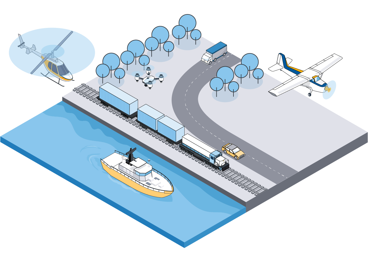
Industry leaders in GNSS-aided inertial technology for georeferencing survey data from the air, land and sea.
Performs in the most difficult environments without base stations.
Our products are outfitted with cutting-edge GNSS receivers and Inertial Measurement Units (IMUs), guaranteeing dependable and consistent results characterized by unmatched centimeter-level accuracy. Applanix GNSS-Inertial solutions excel in challenging environments where others struggle, seamlessly navigating through urban canyons, dense foliage and areas of deliberate signal interference to deliver unparalleled precision.
Your benefits:
- Greater productivity
- Improved process efficiency
- Smoother workflow
- Rapid return on investment
- Increased revenues and profits
Our core competencies:
- Robust position and orientation solutions for sensors and vehicles
- Industry-leading GNSS-aided inertial technology
- Direct Georeferencing of imaging devices
- Sensor fusion and complex systems
Why Applanix is the leader in GNSS-inertial mobile mapping solutions

Leading the way with premier, cutting-edge technology
Trimble Applanix IN-Fusion+
Multi-sensor aided inertial engine
Unequaled level of accuracy and robustness
- Advanced multi-sensor fusion technology
Increased availability
- Latest GNSS technologies, SmartCal and RTX (ASIL-B) corrections
Precise attitude and heading
- 1 min cm convergence in fast regions
Advanced motion state measurement
- Ability to fuse multiple measurements into a single solution
Trimble CenterPoint® RTX
Positioning Services
Advanced PPP technology
Real-time, centimeter-level positions
- Delivered via satellite or cellular/IP
- No base stations required
Most complete coverage world wide
- 1 min cm convergence in fast regions
Available for post-processed and real-time use cases
(ASIL-B) ISO 26262 certified and ASPICE compliant
- Assured data stream quality and authenticity
Trimble ProPoint® GNSS
5th generation, high precision GNSS positioning technology
Improved performance in challenging environments
- Latest GNSS algorithms and seamless RTX integration
Increased availability
- Independent tracking loop - functions without multiple frequencies for each satellite
Better protection against jamming, spoofing and multipath
- Advanced signal filtering and error modeling
Enhanced Constellation Support
- Triple frequency, GPS, GLONASS, BeiDou, QZSS, Galileo
Maxwell Technology
Trimble proprietary survey grade GNSS ASIC
Multi-constellation, multi-frequency tracking using Adaptive Frequency Locked Loop technique
- Advanced multipath mitigation with Everest Plus™
- Protection against spoofing attacks
- Interference detection with RF Spectrum analyzer
Precision in every environment: discover why our partners trust us to meet their complex needs
Why Trimble Applanix?
Whether it drives, flies or floats, you can trust your position with Trimble Applanix


