Overview
SmartDrone designs, builds and manufactures small industrial drones for the land surveying and civil engineering markets. As a Texas-based company, SmartDrone provides an accessible, economical, and uncomplicated UAV mapping solution that land surveyors and civil engineers could easily incorporate into their workflows. With an emphasis on ease of use, as well as data accuracy, they selected Applanix®’s highly accurate and reliable Direct Georeferencing solution to incorporate into their SmartDrone Discovery UAV platform.
Challenge
After multiple interviews and working sessions with land surveyors, SmartDrone realized that the barrier to entry for land surveyors was too large with the existing mapping UAVs on the market. With concerns over cost, portability, and lack of simplicity, they sought to create a solution that was easy to use and integrates with existing land survey workflows, with the high accuracy and efficiency that their clients needed.
Solution
The key components of the SmartDrone Discovery system include:
The SmartDrone Discovery UAV platform, the ultimate solution for capturing large topographies
Trimble® APX-15 UAV, a single board GNSS-Inertial Direct Georeferencing solution
Applanix POSPac^TM UAV, a GNSS-Inertial post-processing software
Applanix SmartBase, a GNSS VRS correction solution that employs free, continuously operating GNSS base stations (CORS), which eliminates the need for a physical base station
Ouster’s groundbreaking and durable LIDAR technology
Working with the Applanix UAV Engineering Team, SmartDrone was able to seamlessly integrate the Trimble APX-15 solution (pictured below) into their LiDAR payload. Coupled with Applanix’s POSPac UAV and SmartBase VRS, the SmartDrone Discovery systems provides fast and efficient 1 foot contour mapping.
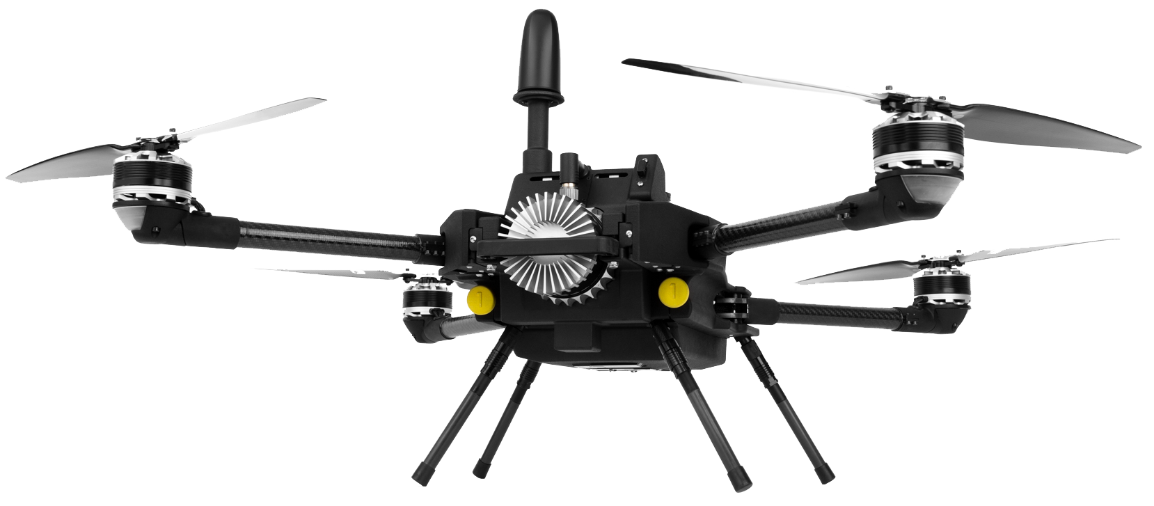
SmartDrone Discovery with LiDAR Paylod
Portability and weight being a concern, the APX-15 weighs only 60 grams and collects both position and orientation data for Direct Georeferencing, a post-processing methodology that does not require the use of ground control points.
POSPac UAV and SmartBase VRS
SmartDrone has designed an easy-to-use post-processing workflow that incorporates POSPac UAV and SmartBase VRS from Applanix. This one-click workflow script provides rapid and accurate processing and correction of the data collected with unparalleled simplicity in use.
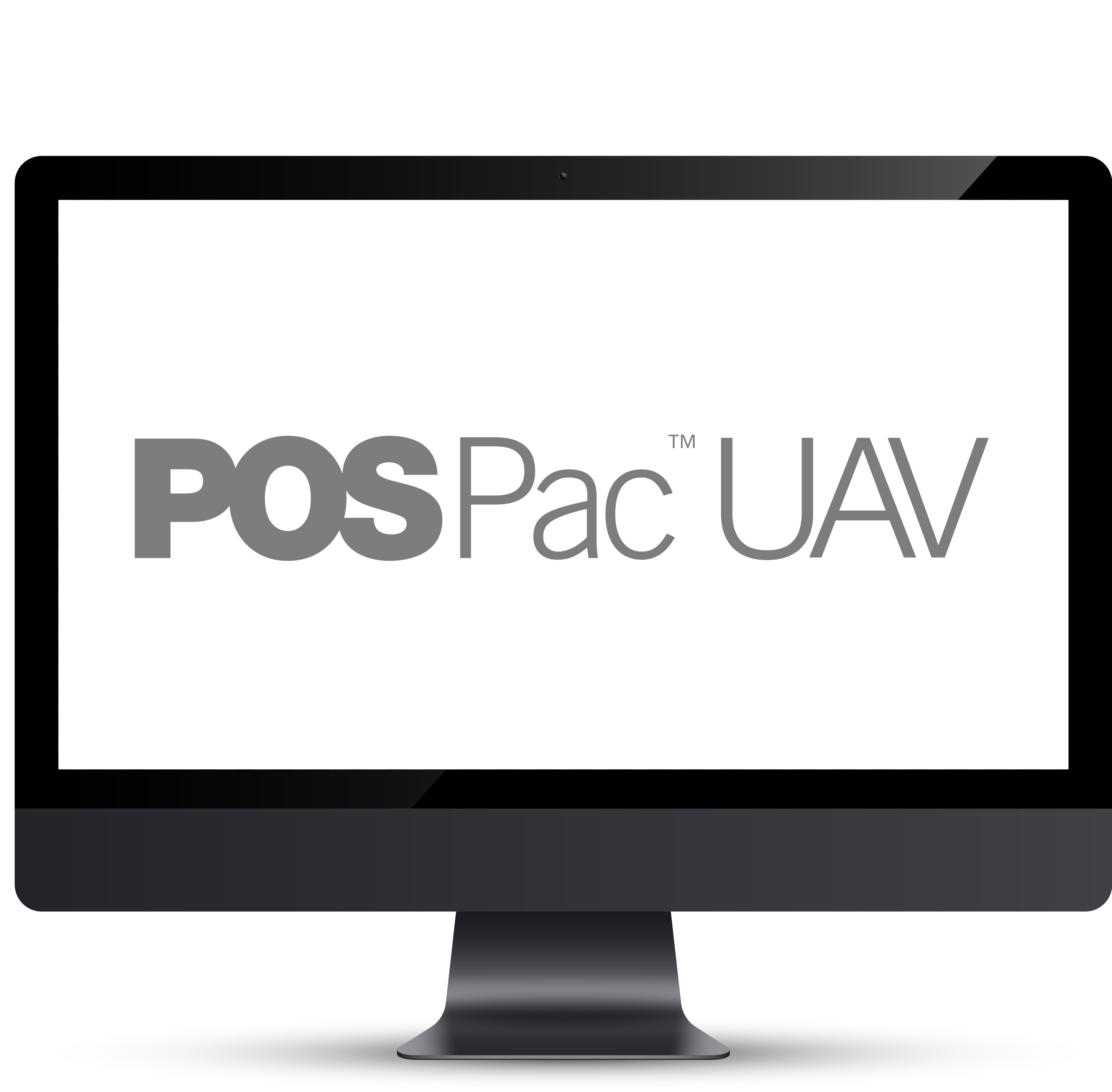
POSPac UAV: GNSS-aided inertial post-processing software for georeferencing data from the Trimble APX series of board sets.
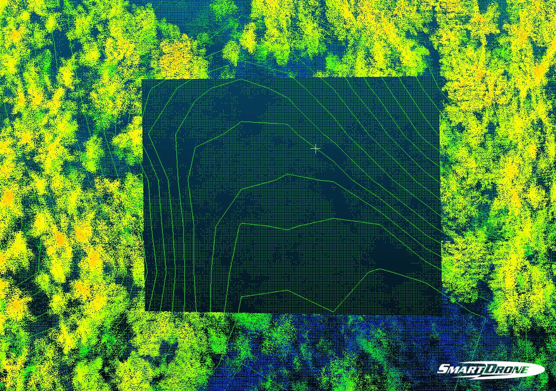
SmartDrone Discovery achieves high-accuracy LiDAR contour maps for large-scale topographic jobs.
SmartDrone discovery advantages
Fastest one-foot contours with high accuracy
Up to 500 acres mapped a day with one-person operation
10-100x faster to power through massive topographic jobs
Any team member can use and learn to operate in less than an hour
Unlimited self-service processing for understanding and checking the work you deliver
One-click results in the field ensuring the job is done right.
Why Applanix?
“We love working with Applanix because they bring us reliable hardware and more importantly a reliable extended team. They seem to really believe it’s their job to earn your business, and everyone we have dealt with at the company acts this way. We have dealt with sales, technical support, and the marketing team, in each case Applanix team members have been extremely pleasant, professional, prepared, and - more importantly - helpful. There hasn’t been a time in our history together where it felt like we had to push to be noticed, push for timely responses, or push for good service - Applanix is a pleasure to deal with.”
Al TheadVP Operations, SmartDrone Corporation


